Hidden gems of the south
Murray Harris, New Zealand Tree Grower February 2011.
This is an overview of the people, the geography and production capabilities of the area south of Dunedin to west Otago and inland to central Otgao.
The colonising movement in Britain, together with division in the church of Scotland, led to planned settlement in Otago in association with the New Zealand Company. A close knit agricultural settlement, peopled by a group of single minded Scots, was established in Otago. The 400,000 acre Otago Block stretched along the east coast from the Otago Heads to Nugget Point and was selected for its climate, timber, soil and harbour. The land was purchased from the local Maori chiefs by the local New Zealand Company agents.
The first settlers arrived in Dunedin which was laid out as the main town in 1848. Gradually more and more people arrived and slowly moved inland to central Otago. It was not long before gold was discovered, first by Gabriel Reid in the Tuapeka district and then by Hartley and Reilly, Fox and others in the heart of central Otago. One of the field trips of the 2012 conference will be to the Lawrence gold mining area.
Influence of gold
Gold made an enormous difference to the progress of Otago. However, even without the gold rushes, the establishment of sheep runs inland and the continued development of mixed farming on the eastern lowlands would have made Otago prosperous. Road and bridges were built to serve the mining districts. Although gold altered the landscape and affected the rate of development it broadened rather than changed the outlook and ideas of the people of Otago.
At this point farming was also making rapid progress. Grain and wool exports rose rapidly, helped by the new steamships and developments of local railways and harbours.
Many of the larger farm holdings were broken up in the 1890s and 1900s following infestation by rabbits and a series of droughts and snow storms. Land legislation was then passed to enable farms to be given to returned serviceman after the World War I and World War II.
Climate
Otago lies in a region of predominantly westerly winds. In eastern coastal Otago, conditions are tempered by cool easterly breezes and by the absence of shelter from wind and rain moving over the area from the south and south west. In no other part of New Zealand are the contrasts in rainfall between the windward west coast and the lee areas as significant as they are in Otago.
Rainfall is 1250 to 1500 mm in the Catlins and on the highest ranges can be up to 1750 mm. At Telford it is around 700 mm, reaches 800 mm in Dunedin, but on some of the surrounding higher altitude slopes 900 mm is not uncommon. The climate change is remarkable as another 50 kilometres inland, to the dry semi arid basin at Alexandra, only 350 to 400 mm annual rainfall is experienced.
Geology and soils
Three main types of rocks are present in the region. Mica-schists from Dunedin to Mount Aspiring and the Alps, sedimentary rocks such as greywacke and sandstone on each side to the north east and south west, and in the far west resistant granitic and metamorphic rocks.
In the south, rock types are mainly tuffaceous greywacke sandstones and mudstones, with a volcanic ash component. The rocks have been folded to produce ridges and valleys reflecting the structure of the Southland syncline.
The soils of South Otago follow two distinct soil patterns. Firstly, the soils of the northern area are rolling downlands between SH8 and SH1 mainly formed on wind blown loess. On the coastal hills are quartz sands and gravels with gley soils of the Clutha delta.
Soils in the southern area are dominated by rolling downlands in broad valleys, mostly below 300 metres altitude. Loess covers the rolling valley floors and colluvium mantles most hill slopes where rainfall is about 1000 to 1300 mm.
Land use
Soils most suitable for horticulture are stone free, well drained soils on rolling or undulating land at lower altitudes. Because the soils have restricted drainage and associated problems related to soil physical properties, large areas of the rolling downlands of South Otago are not considered suitable for large scale horticulture.
Most soils suitable for horticulture occur in the Clutha delta and around Owaka. Around Outram and the northern Taieri Plains are excellent areas of remaining high class soils suitable for a range of crops and intensive production.
Farm forestry
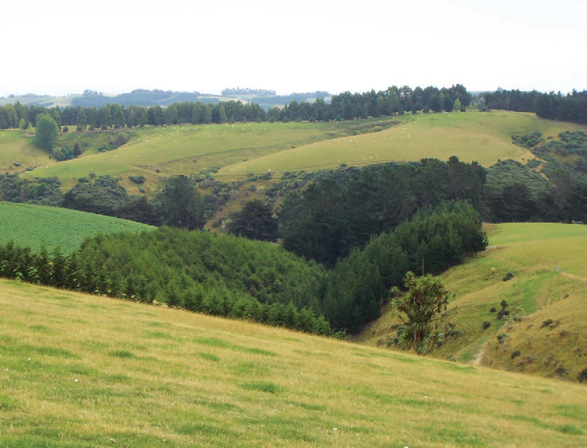
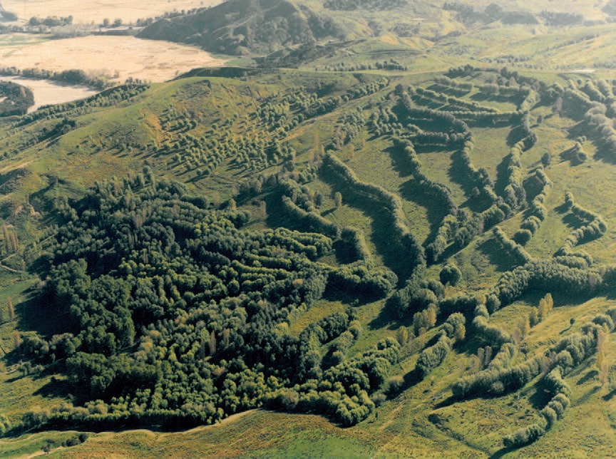
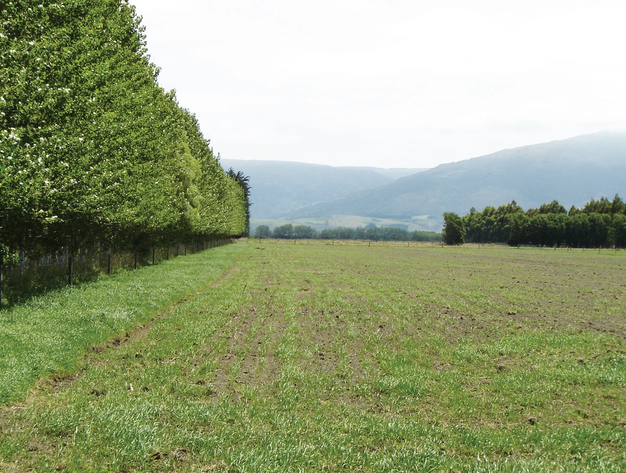
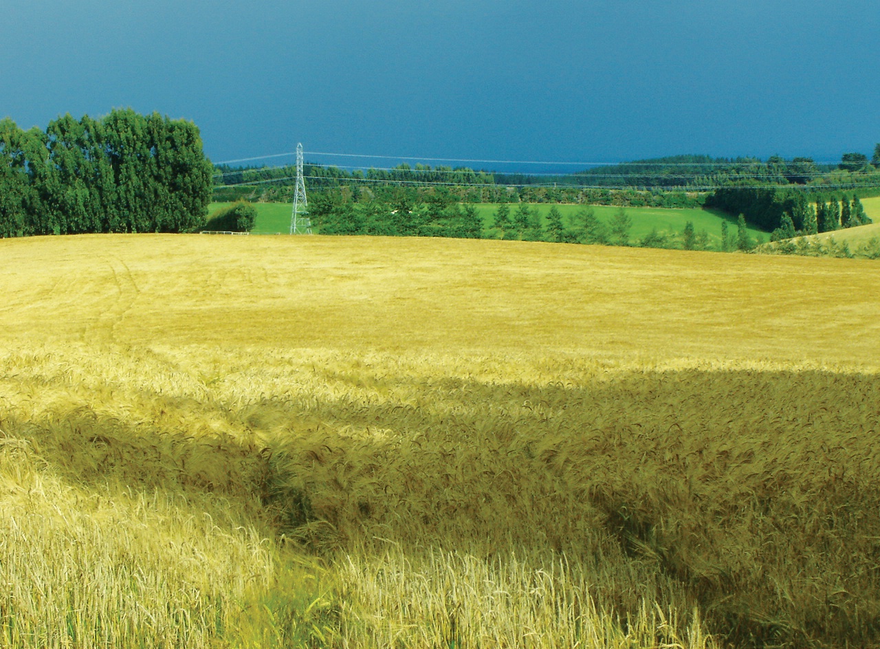
The following pages contain articles from a variety of farm foresters in mid and south Otago. Examples of other farm forestry can be seen in the following selection of photographs.